Get in Touch for Surveying Services
Share a few details about your surveying project using the contact form to connect with local service providers.
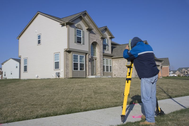
- - Boundary Surveys - defining property lines for new divisions or disputes.
- - Construction Staking - marking building locations and layout for construction projects.
- - Topographic Surveys - mapping land features for planning and development purposes.


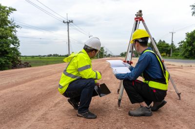
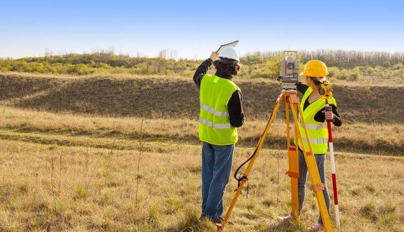
People typically reach out when they need assistance with surveying projects such as land boundary identification, property mapping, topographic surveys, or construction site measurements. These services are often requested for property development, land division, fencing, or building planning. When contacting through the form on this page, it helps to include details about the location of the project, the type of survey needed, and any specific requirements or concerns. Providing as much relevant information as possible can help connect you with service providers who are well-suited to handle your project.
In your message, it’s helpful to mention the scope of the project, the general area where the work will take place, and any deadlines or special considerations. Clarifying what you’re looking to accomplish with the survey can ensure that responses are tailored to your needs. Including details such as property size, existing site conditions, or particular points of interest can make it easier for providers to understand your project and determine how they might be able to assist.
Providing details like the size and type of the property, the specific surveying services needed, and any site constraints can help make your request clearer. Describing the project scope and what you’re hoping to achieve also helps connect you with the right service providers. The more context you share, the easier it is to find professionals who can assist effectively.

Use the form below to describe your surveying needs so local providers can understand your project.